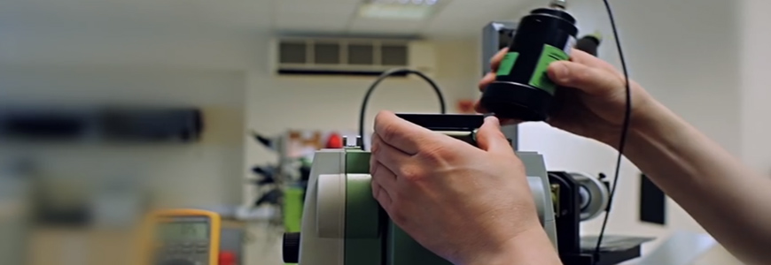
METRICA A.E. maintains a certified SERVICE lab with specialized staff trained annually on new technologies in the manufacturers' laboratories we represent. Leica Geosystems AG's official laboratory certification was obtained by our laboratory for the first time in 2006 and since then we have been part of the official network of approximately 130 certified laboratories worldwide with the title:
Authorized Service Center of Leica Geosystems AG
Avaliable Services
Control and setting: The first and simplest step to ensure your equipment is in good condition is to fix its basic faults (horizontal, vertical, etc.).
Regular Equipment Maintenance:Regular annual maintenance is carried out by specialized technicians trained in the technical laboratory of Leica Geosystems AG in Switzerland with a long experience. The maintenance and inspection certificate provided ensures the optimum performance of your equipment. Complete protocol is maintained during the annual maintenance, all necessary adjustments and controls are made (lubrication, replacement of damaged parts, etc.).
Extensive Equipment Maintenance: For greater "peace of mind" Leica Geosystems AG recommends extensive equipment maintenance every 3 years. This includes yearly maintenance with the certificate of inspection and ADDITIONAL full maintenance (includes replacement of worn out parts, reconditioning etc.).
Software update:It ensures that you keep up-to-date with the latest versions of applications firmware for maximum productivity.
Extension of Warranty: All Leica Geosystems AG topographic equipment is provided with a one year warranty. This warranty may be extended to a maximum of three (3) years. Work and spare parts are fully covered. So you have your "head quiet" about any problems that may arise.
Calibrations: The service laboratory operates a dedicated geodetic station and GPS calibration facility with three calibrated bases for the control of angles, distances and the accuracy of GPS measurements approved by Leica Geosystems AG to certify the instruments necessary for the controls. ISO. The calibration bases shall be tested in accordance with the procedures of ISO 17123-3 &17123-4 for TPS and ISO 17123-8 based on Leica Geosystems AG GPS. The calibration bases are checked monthly with the Metrology Instrument, Laser Tracker, Leica AT402.
Based on the above, both control certificates and calibration certificates are issued for ISO audits.
Our company operates a fully equipped repair department, capable of meeting any need for maintenance or repair of your Leica topographic equipment, from a simple surveyor to the latest high-tech GPS and Geodetic stations. The laboratory fully complies with the rules and strict procedures set out above.
Calibration Services
Certified by Leica Geosystems AG, a SERVICE laboratory of our company, there is an angular surveying and calibration system installed as well as a distance calibration system. The installation consists of five special collimators positioned at different angles around a fixed calibration base.
The geodetic station is mounted on the base and checked three times by creating three sets of measurements in different areas of the horizontal and vertical discs of the instrument, in the first and second telescope positions, using a special software that ensures accurate and smooth measurement results.
Correspondingly, for distance calibration the Geodetic Station is also placed on a special, fixed basis and three sets of measurements are made at three constant distances. There are three sets of measurements in prisms, three sets of self-adhesive targets and three sets of Reflectorless mode, for those instruments that support it. Measurements are made at both telescope positions resulting in 18 measurements in total, which yields the statistical result (standard deviation). The above method, approved by Leica Geosystems AG, enables us to test and certify all Geodetic Stations. , regardless of manufacturer at both angles and distances.
The SERVICE Lab also has a dedicated geodetic station and GPS calibration facility with three calibrated bases for checking the angles, distances and accuracy of GPS measurements approved by Leica Geosystems AG to certify the instruments necessary for the controls. ISO. Calibration bases shall be tested in accordance with the procedures of ISO 17123-3 &17123-4 for TPS and ISO 17123-8 based on Leica Geosystems AG GPS.
The calibration bases are checked monthly with a Metrology Instrument, Laser Tracker, Leica AT402.


